
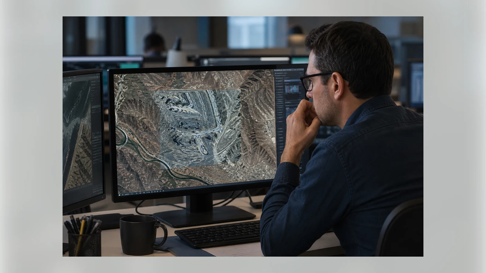
Earlier this week Google introduced and then almost immediately disabled an experimental AI feature in Google Earth that allowed users to generate synthetic satellite‑style images. The tool, powered by the company’s Nano Banana 2 model, could overlay custom imagery onto real map locations, sparking alarm over its potential for creating convincing deepfakes.
The feature became available on the desktop version of Google Earth. A user could search for any place, zoom in, and tap a “Create Image” button. After entering a text prompt, the AI would produce an image that blended naturally with the surrounding satellite and aerial photography. Generated outputs were labelled as AI‑generated and were visible only within the user’s own project; they did not alter the public Google Earth experience.
Initial promotional material suggested benign use cases: visualising a dream home on a vacant lot, exploring how a neighbourhood once looked, or whipping up infographics for a trip. CNET staff tested it by prompting “Central Park” and watching a three‑storey house materialise in the middle of the green space. The image took a few minutes to appear but could be refined and saved to a personal project.
In a now‑removed blog post, Google described the tool as one that “creates concepts grounded in the real world.” However, within hours of the launch, digital investigator Henk van Ess demonstrated on his Substack newsletter Digital Digging how effortlessly the system could weaponise that realism. He showed a fake satellite image of a nuclear facility in Iran, indistinguishable at a glance from genuine Google Earth imagery. “Google spent twenty years building the reference the world checks against,” van Ess wrote. “Today it added a button that makes things up.”
Backlash spread quickly on social media and among researchers who study disinformation. By Friday, Google announced on X that it was pulling the feature. “We’ve seen screenshots of images that violate our policies, so we’re rolling back this feature in Google Earth while we work on implementing stronger guardrails,” the statement read. It also reiterated that the generated images were watermarked and never appeared in the main, shared Google Earth view.
The episode underscores a broader tension surrounding generative AI tools. Plenty of applications, from Canva to Midjourney, already allow users to synthesise realistic scenes. But Google Earth’s reputation as an authoritative, factual map of the world magnifies the danger. When a trusted service offers a button that fabricates satellite evidence, the line between documentary and fantasy blurs for anyone who later encounters a screenshot. Misinformation, deception and manipulated narratives become harder to counter.
For now, the feature is offline. Google says it will return only when stronger safeguards are in place. In the meantime, the incident serves as a reminder that even short‑lived AI experiments can erode public confidence in digital truth.
See an error? Read our corrections policy or email [email protected].